


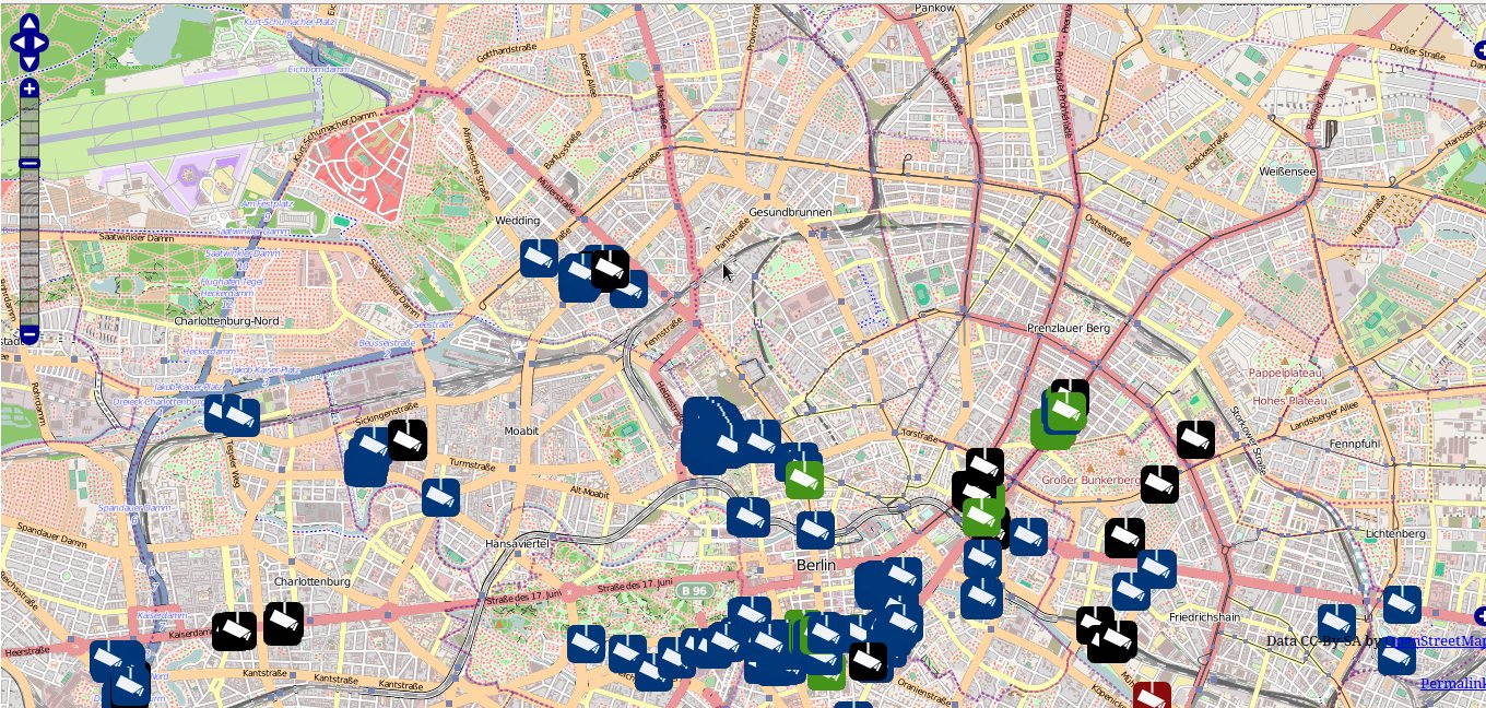
This is an online map of the world, created by people who wanted a new, fully adaptable, free-to-use map. They have collected or obtained the data themselves by walking around with notepads and digital devices that can record geographic information, which they then enter into the website. By editing the map directly, other people have then improved it by adding their knowledge of an area, entering information about local businesses, shops and public infrastructure. The venture is run by an international not-for-profit foundation based in the UK.
The strength of OpenStreetMap is its adaptability and the freedom it offers for people to use it for whatever purpose they wish. Because the data the map itself is made from is freely available, maps can be downloaded, changed, created in different visual styles and used in different software. These open terms of use mean that the use, existence and content of the system is not determined by commercial priorities. OpenStreetMap's coverage is dependent on the willingness of people to improve it, so the maps of some areas are more detailed and useful than others. So if you're trying to show data about things happening in a Lahore suburb, for example, OpenStreetMap is rather bare but Google seems to have good coverage. This website shows you different maps from OpenStreetMap, Google and Bing side by side.
you can search the map for the street, town or country you want and then download a map of it that you can change yourself.
the many areas of the world where OpenStreetMap lacks detail.
Moderate
Online. Desktop, by installing software like QGIS
There are three different ways to use OpenStreetMap. OpenStreetMap is made up of three separate elements: the map itself, the data that it is made of, and the software platform that makes it work. The map you can look at online, the data you can use to make your own maps and the software platform is available to you to use in your own projects.
By registering with the OpenStreetMap website, you can use the mapping platform to map out your own area yourself. There are communities dedicated to improving the maps, and they have organised mapping projects that you can become involved with. This has been a form of advocacy in itself where maps were non-existent, inadequate or politicised (see the examples section).
OpenStreetMap itself does not provide an equivalent to Google's “My Places”, which enables you to create a simple map using your own data. However, you can use Ushahidi to display information about incidents and events on top of maps taken from OpenStreetMap. You can also use OpenStreetMap to make your own map using free software like QGIS that you can install on your computer. However, this is not straightforward to do and will require some technical knowledge.
Direct entry and GPX.
JPG, OGR,PDF, PNG, PS, SVG and XML.
Arabic, Chinese, English, Farsi, French, Russian, Spanish and Vietnamese.
Open Street Map Foundation
Open Database License (OdbL)
Map Kibera is an ongoing project to make a comprehensive map of Kibera, a substantial slum area in Nairobi, Kenya, using the OpenStreet Map platform.
OpenStreetMap keeps an extensive list of projects that make use of the map.